Andrew Roberts, October 2026
Introduction
This paper is based on a talk given to the Local History Group on 22 September 2026. This followed a talk given by Howard Slatter about the history of Hobson’s Conduit and Hobson’s Brook. This paper concentrates on the changing use of the land both sides of the Conduit between Nine Wells and Long Road. For convenience, I have used the word ‘brook’ rather than ‘conduit’.
I have been taking photographs of Trumpington since 2006 and in the subsequent 20 years there have been many changes to our surroundings. This paper is largely based on the changes I have recorded.
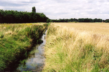
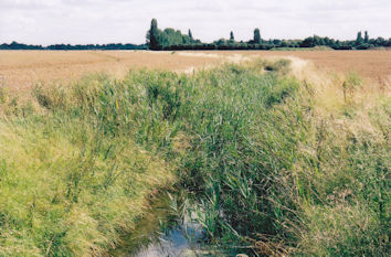
Long-term Context: Archaeology and Farmland
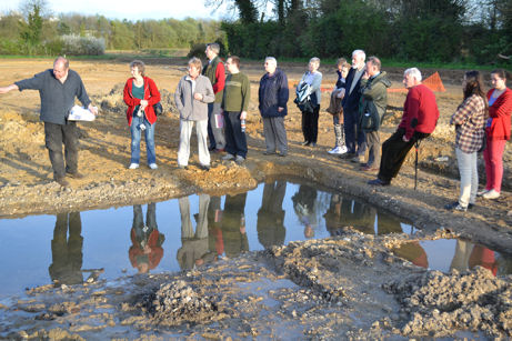
As a result of archaeological excavations, we know that the land both sides of the brook has been farmed for over 3000 years, certainly since the Bronze Age around 1000 BC. When Oxford Archaeology East excavated the area that is now Hobson’s Square, they found a pattern of field boundaries. In the area between Hobson’s Square and Long Road, now crossed by Lime Avenue and Green Lane, they found evidence of a small settlement area with rectangular enclosures and ditches near the brook, which would have provided a good water supply.
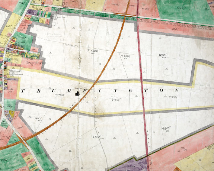
Howard Slatter covers the alterations to the natural course of the brook to form the Conduit to provide a water supply into Cambridge from the early 1600s. When Sir Francis Pemberton purchased 1000 acres of Trumpington parish in 1675, this included most of the farmland both sides of the brook between the village and Hills Road. In the Inclosure Award in the early 1800s, the land was awarded to his descendant, Frances James Pemberton, with one of the maps produced at the time with an indistinct line marking the brook, the field boundaries, and the new Clay Farm house at the top of the map (Shelford Road is to the lower left; the High Street upper left; Long Road diagonally from upper area to the right; and Hills Road to the right).

100 years later, around 1910, the brook and the field pattern was shown in the Land Value map produced for taxation purposes. The brook is clearer on this map, running from south to north in the centre of the image. The land was managed from Clay Farm house near Long Road and Manor Farm and Church Farm in the village. Most of it remained as farmland into the late 1900s, part of the Trumpington Farm Company.
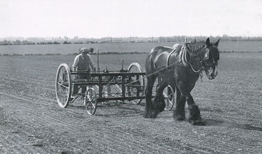
One of the tenant farmers of Clay Farm from the 1930s was Reg Cornwell, who was photographed in 1940 drilling sugar beet, with what appears to be the brook and railway line in the background.
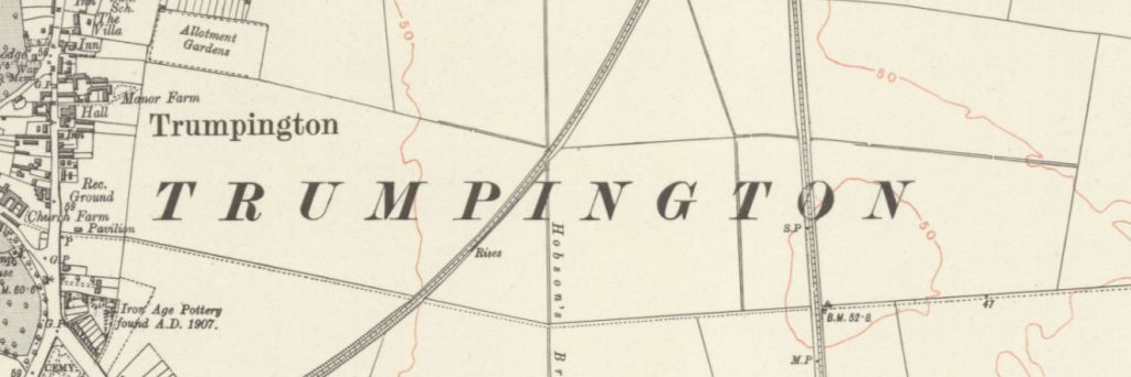
There were a number of farm tracks from Trumpington village across the fields, the brook and the two railway lines, shown on the Ordnance Survey map from c.1928.
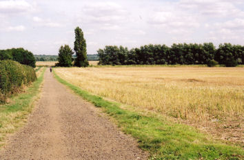
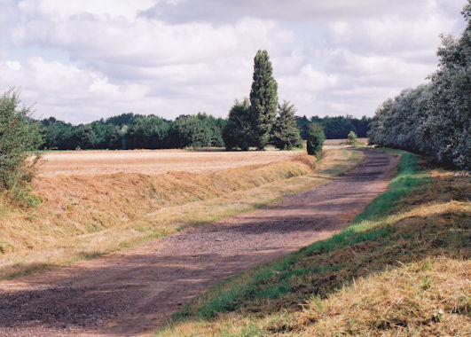
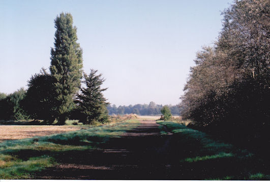
One of these tracks ran from Manor Farm on the High Street due east to the Cambridge-Bedford railway line and the brook and on. The trees in the photograph are part of the shelter belt alongside the former Cambridge-Bedford line (now the Busway), with the track going downhill towards the line. At the Cambridge-Bedford line, there seems to have been a railway bridge and a culvert for the farm track over the brook, a crossing over the railway for the farm track and an adjacent footbridge. At the Cambridge-London railway there was a level crossing.
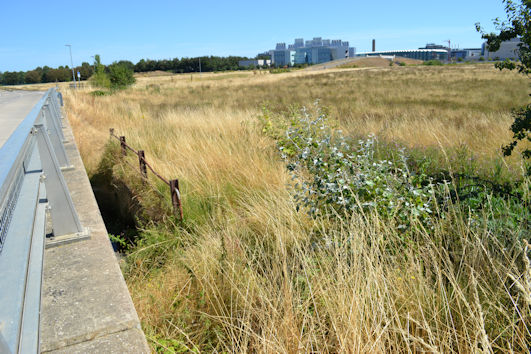
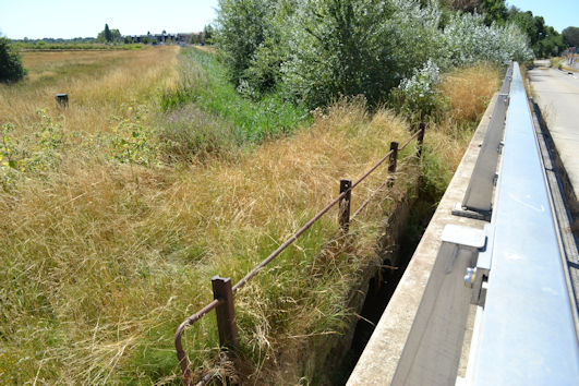
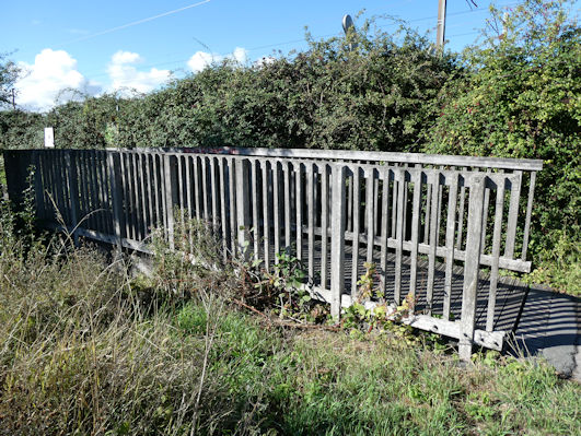
The footbridge at the brook remained in place when the Cambridge-Bedford railway bridge was reconstructed to be used by the Busway. The footbridge was overgrown in summer 2018, with old rusted railings visible.
The level crossing at the Cambridge-London railway was still in use in the early 2010s, after the construction of the Busway railway bridge. Looking from the Busway bridge, the land to the west of the railway was about to be developed as Hobson’s Park and the land to the east of the railway was still being used as farmland, with Francis Crick Avenue having just been constructed (now Cambridge South Station, etc.).
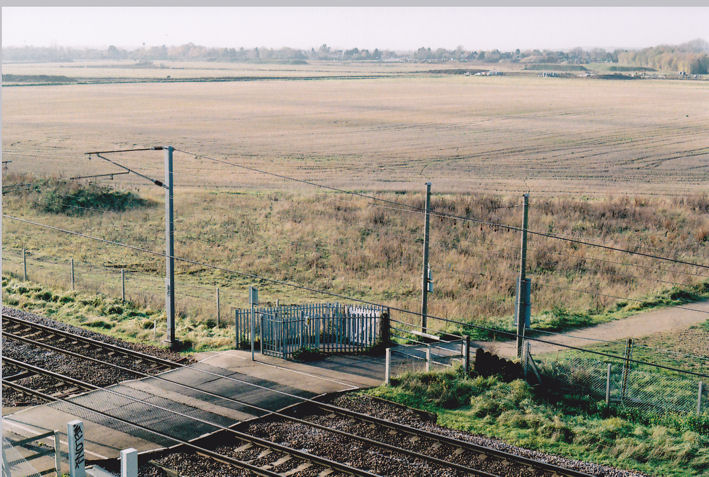
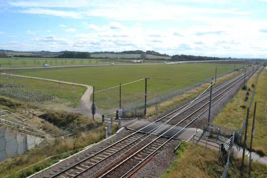
The second track ran from Church Farm on the High Street to a bridge over the brook and on to the crossing over the Cambridge-London railway. Part of this track is still in use with Hobson’s Park, forming the path between the lake and the allotments. This is also the route of a major gas main, marked by high poles. The level crossing at the Cambridge-London railway was still in use in the early 2000s.
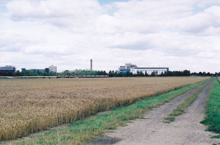
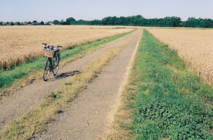
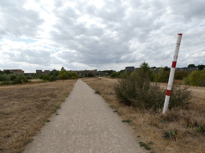
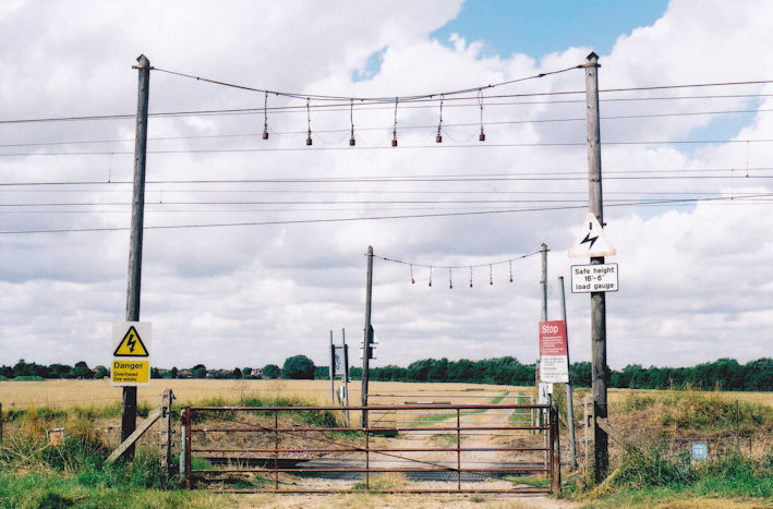
There was an informal footpath alongside the banks of the brook, particularly on the east side of the brook and where it turned towards Nine Wells. Up to the late 2000s, this was a good place to spot kingfishers, darting along the brook.
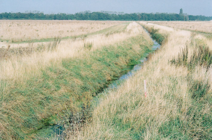
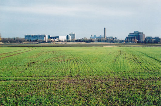
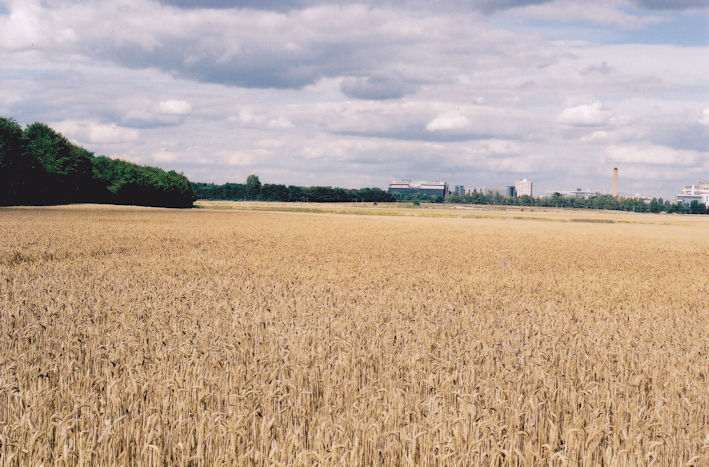
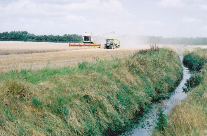
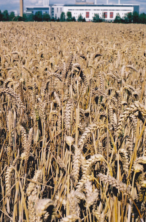
One of the final harvests of the crops in the fields both sides of the brook was in August 2007.
Impact of the Railways
The 1910 map shows the impact of the railways on the landscape. The line from Cambridge to Liverpool Street and Kings Cross opened in 1845 and 1851 (the north-south route on the map) and the line from Cambridge to Bedford opened in 1862 (the route running from top to lower left on the map, with bridges on Long Road and Shelford Road), both cutting across the farmland and crossing the brook.
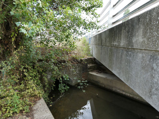
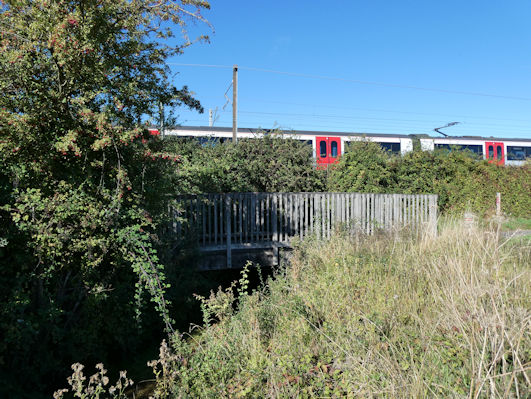
The Cambridge to London line crosses the brook close to its source at Nine Wells, with limited headroom over the brook. In high summer, the view of the railway bridge from the cycle path bridge is obscured by brambles.
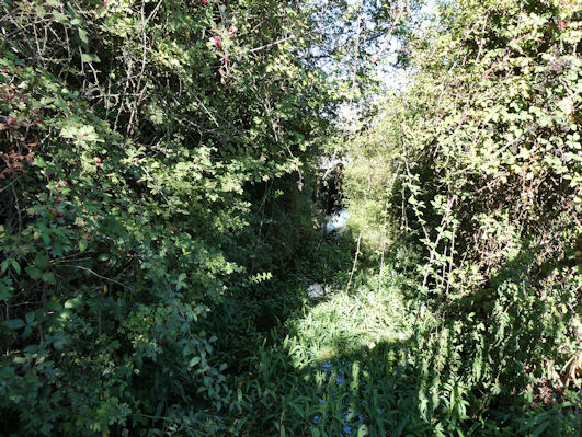
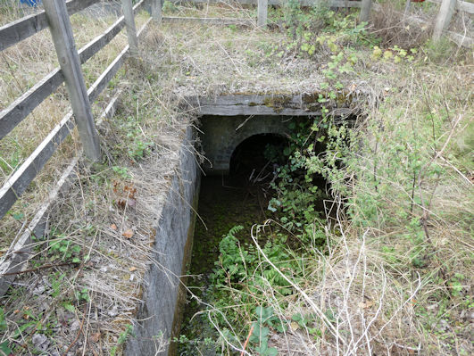
The Cambridge-Bedford line also had a crossing over the brook. The line became disused in the late 1960s but the route remained intact and the railway bridge seems to have been incorporated within the Busway bridge.
Addenbrooke’s Hospital, from 1960s
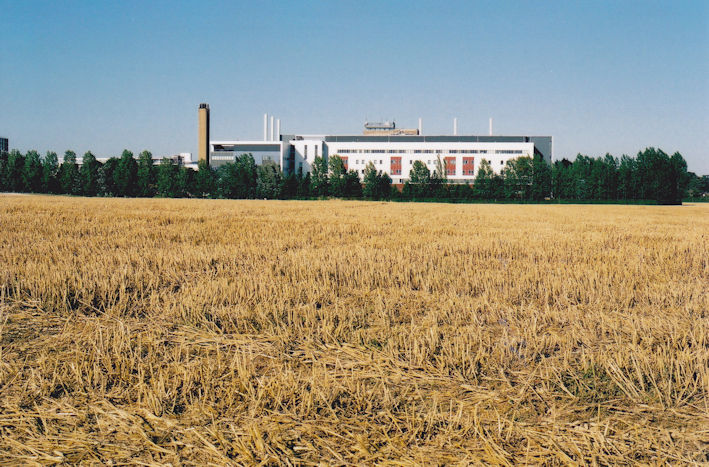
The first major encroachment on the farmland near the brook was the development of Addenbrooke’s Hospital from the early 1960s. The new buildings were initially surrounded by farmland, but this disappeared as the Cambridge Biomedical Campus developed. Howard Slatter has noted that the surface drainage from the hospital site runs into the brook.
From Green Belt to Development, 2000s to Present
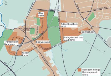
The farmland was designated as part of the Cambridge Green Belt until the 2007 Local Plan. This Plan and the 2006 Southern Fringe Area Development Framework resulted in the most significant change to the area. The Plan allowed development to the west of the brook and around the hospital to the east of the Cambridge-London railway line but retained a green corridor into the city, between the brook and the railway line.
Addenbrooke’s Road
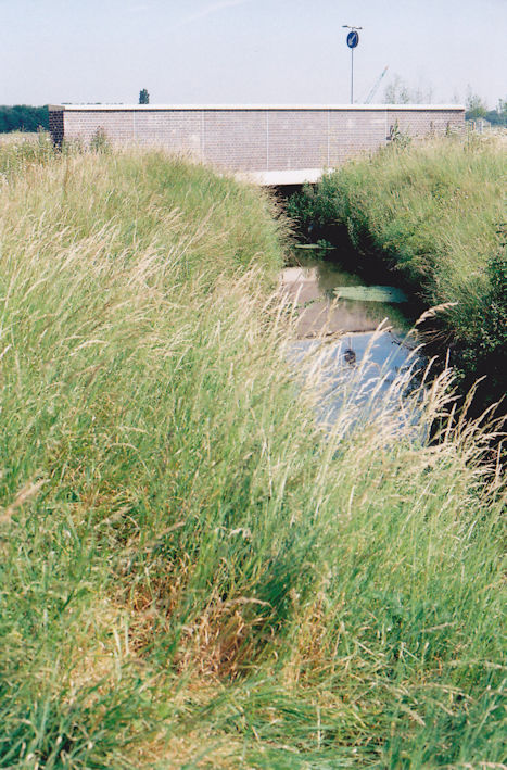
From 2008 to 2009, Addenbrooke’s Road was constructed across the farmland, from Hauxton Road to Shelford Road and over the brook and Cambridge-London railway line to the Campus.
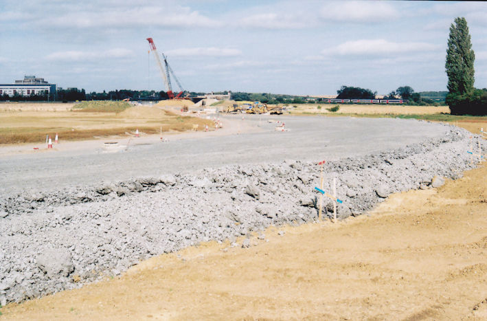
The project included a temporary Bailey bridge across the brook to give access to the site. A small bridge was then built in 2008 to carry the new road across the brook.
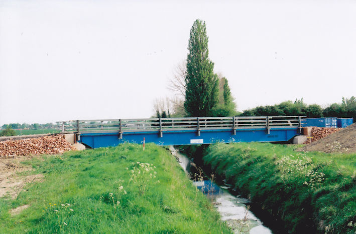
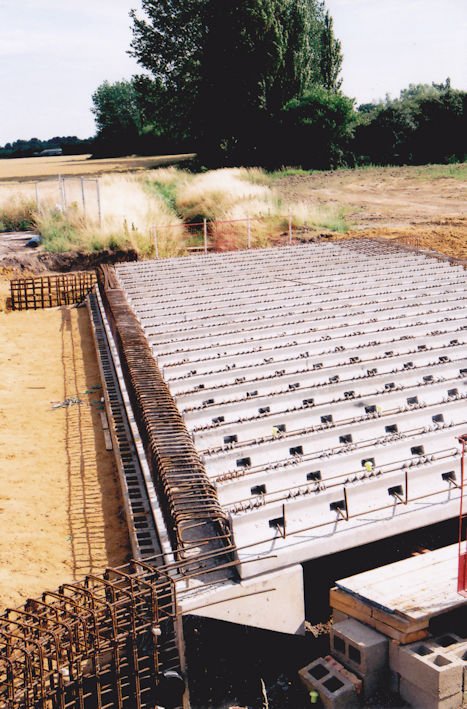
This bridge was ready for use before 2010. This was of course before housing construction, which took place across Clay Farm from 2011 to 2025.
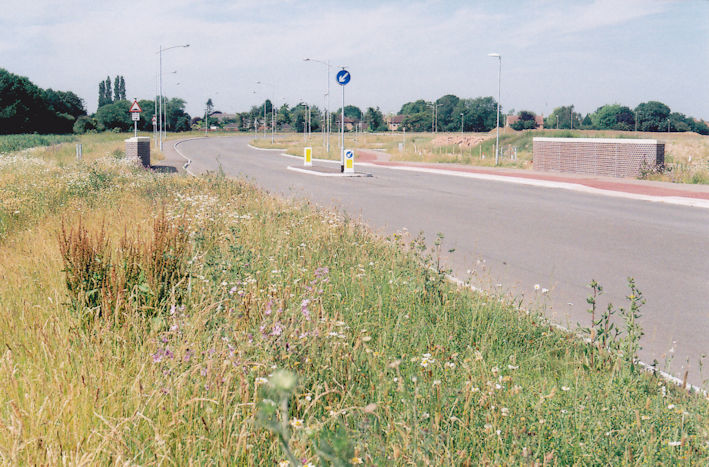
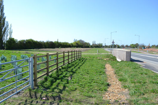
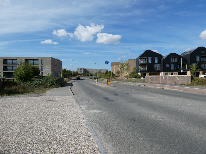
The project included the construction of the substantial bridge over the railway, officially known as Nine Wells bridge.
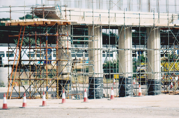
The new road had a smooth pothole-free surface in 2009! It opened in October 2010, with a ceremony on the bridge.
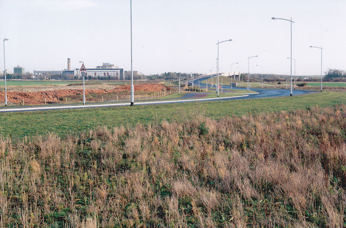

On the Trumpington side of the railway, the embankment up to the bridge is parallel with the brook and the bridge itself is close to the point where the railway crosses the brook. The small parcel of land between the road embankment and the brook became part of Hobson’s Park, with an informal path along the bank of the brook as far as the railway.
Cycle route from Great Shelford
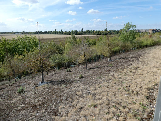
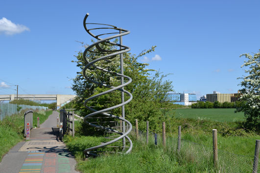
A cycle route was constructed from Great Shelford to Addenbrooke’s in 2007, parallel with the east side of railway, requiring a small bridge over the brook close to the railway bridge. The DNA painting on the path and the double helix structure by the bridge over the brook mark the 10,000 mile point on the National Cycle Network.
From Disused Railway into Busway
The Busway was constructed in the late 2000s, with the main route using the alignment of the Bedford railway line. The old railway bridge over the brook was rebuilt to carry the Busway.
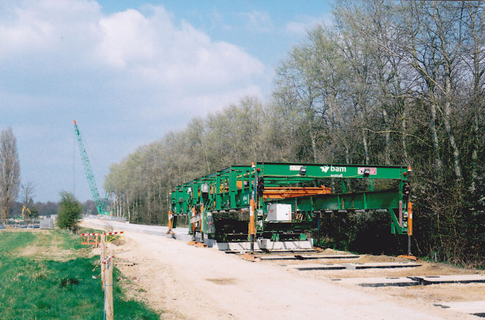
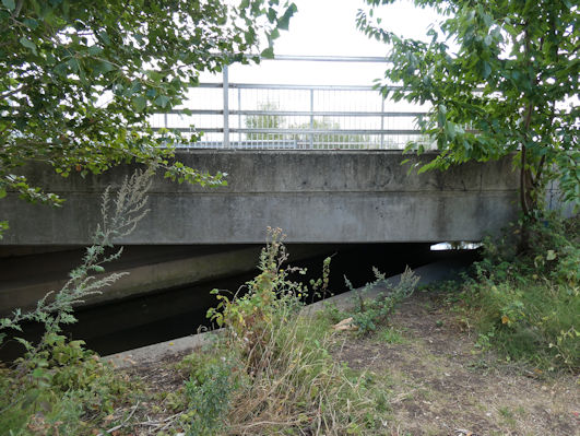
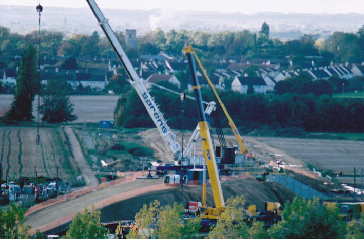
The Busway spur into the Biomedical Campus involved the construction of the bridge over the main railway line. This was built parallel to the old farm track. This view from the main hospital building shows the bridge under construction, with the brook across the centre of the photograph and the old track from Paget Road to the railway crossing hidden by the trees in the distance.
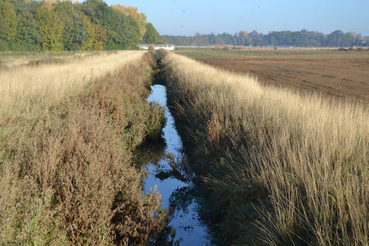
This is looking along Hobson’s Brook to the Busway bridge over the brook, soon after the opening of the Busway.
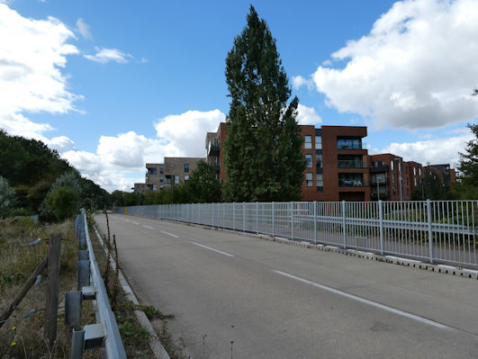
The environment around the Busway changed drastically in 2025-26, with the erection of safety barriers along the length of the route, including at the bridge over the brook.
From Farmland to Development: Housing, Community and Park
The main development of Trumpington from the 1940s to the 2000s was the Estate, and as Howard Slatter has mentioned, its surface water drained into the Brook.
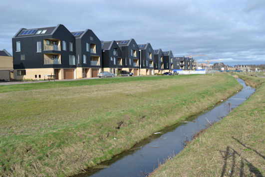
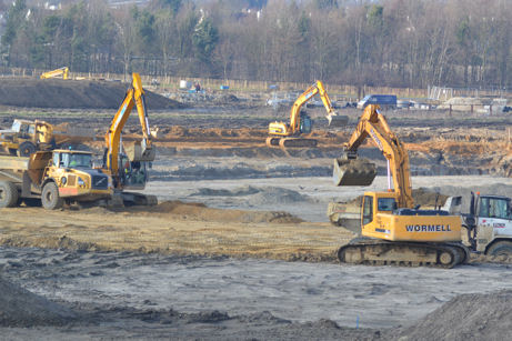
The 2007 Local Plan and subsequent updates allowed development across Clay Farm and the expansion of the Cambridge Biomedical Campus. Work on the construction across Clay Farm began in 2009, with the main infrastructure of roads and drainage, then 2300 homes, the Clay Farm Centre, schools, Hobson Square and Hobson’s Park. The farmland immediately to the west of the brook has now been built over, with homes on Southwell Drive, Stallan Close, Pinnington Close, Whitelocks Drive and Plantation Avenue and Trumpington Community College. I have recorded the changing scene along the brook over the last 20 years.
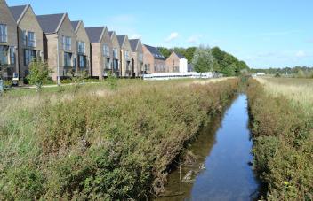
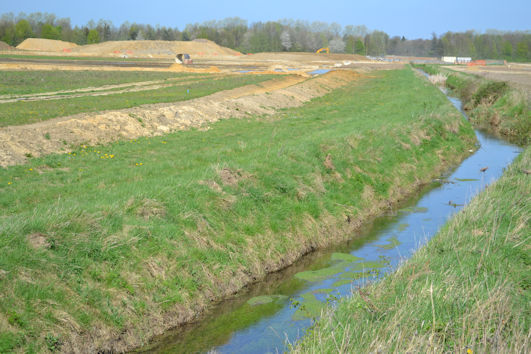
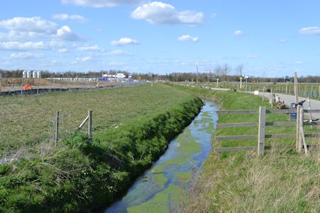
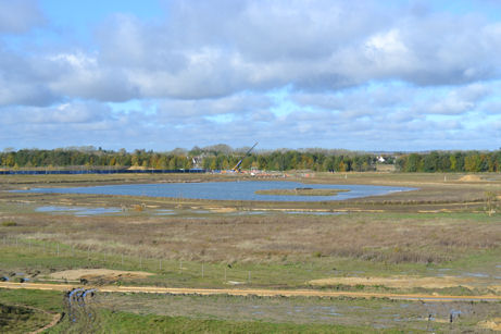
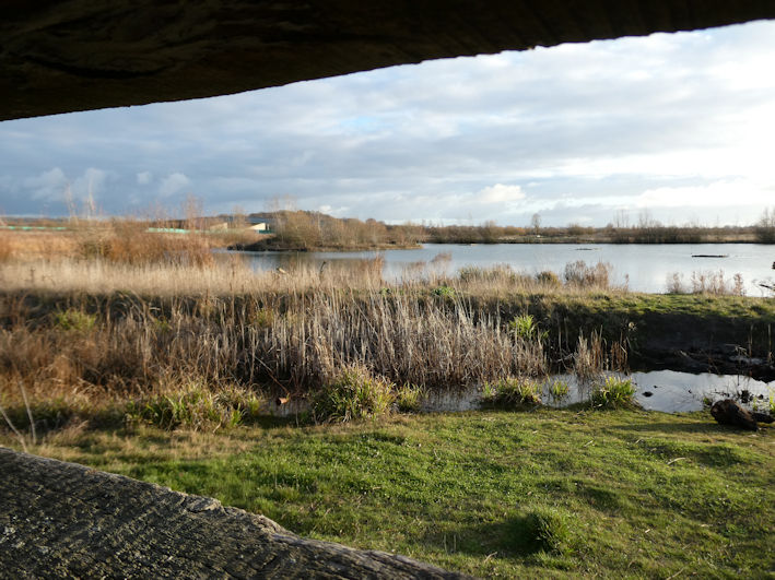
The farmland to the east of the brook as far as the railway line has been largely preserved as open space, including Hobson’s Park. Howard Slatter refers to the role of the balancing ponds which hold surface water drainage and have helped with biodiversity. The main lake and surrounding has developed into a mature environment.
Part of the area to the east of the brook has been developed as allotments, now screened by trees on the perimeter. After a long delay in handing them over to users, they have become established in recent years.
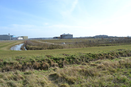
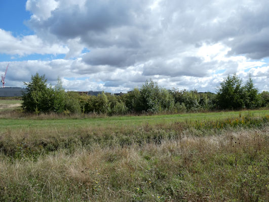
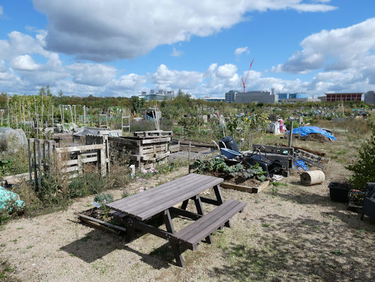
The park to the north of the Busway spur is a so-called Active Recreation Area, still not open to the public in autumn 2026 after a long delay in completing the landscaping work. The area will include an exercise trail.
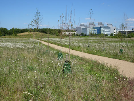
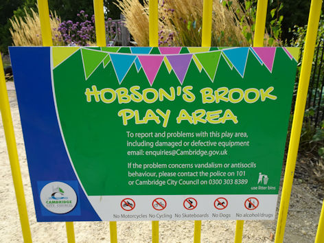
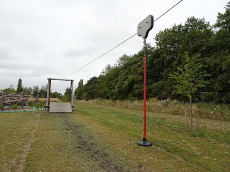
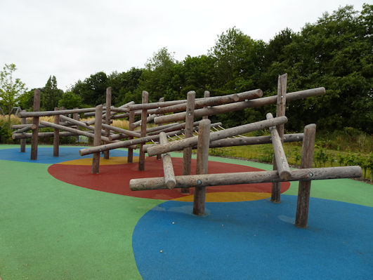
The triangle of land between the brook and the Busway includes another play area, opened in 2025. North of this, there are a number of sports pitches for the Community College.
As already noted, there were originally two bridges over the brook, one beside the Bedford railway crossing and another at what is now the allotment crossing. The alignment of the track at the approach to the railway crossing (now the Busway) is now followed by Henty Close. During the Clay Farm development work, there was a haul road bridge over the brook at this location, removed in early 2023.
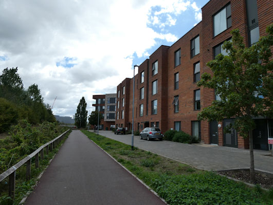
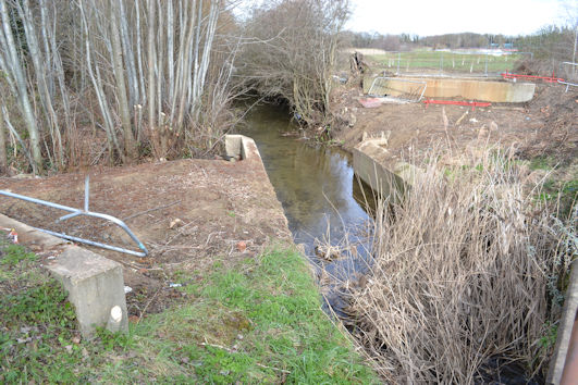
The old footbridge at this location was renovated in 2020, as part of the cycle route between the Busway and Pinnington Close.
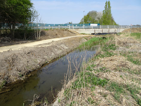
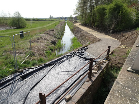
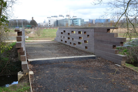
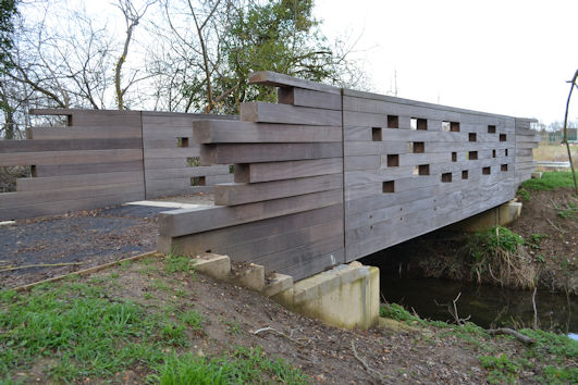
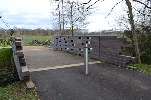
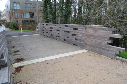
The bridge at the allotment crossing has also been renovated, with wood used to form both sides.
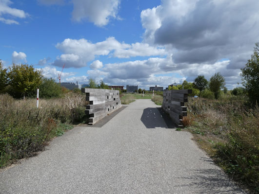
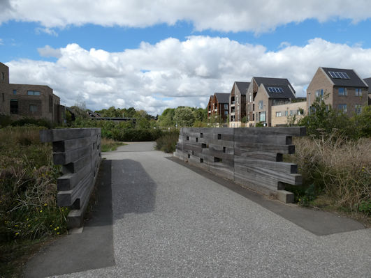
There are a number of new footbridges over the brook, including one opposite Baker Lane which also has wooden sides. This provides a good link into the Park from Southwell Drive.
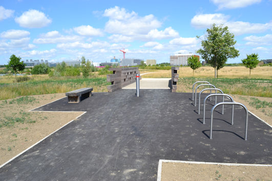
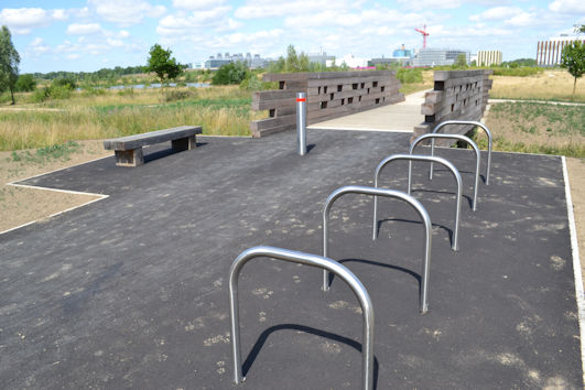
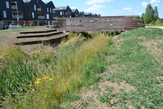
There are two additional bridges further north, near the Community College and off Plantation Avenue.
Railway Evolution: Cambridge South Station, 2020s, East West Rail, 2030s?
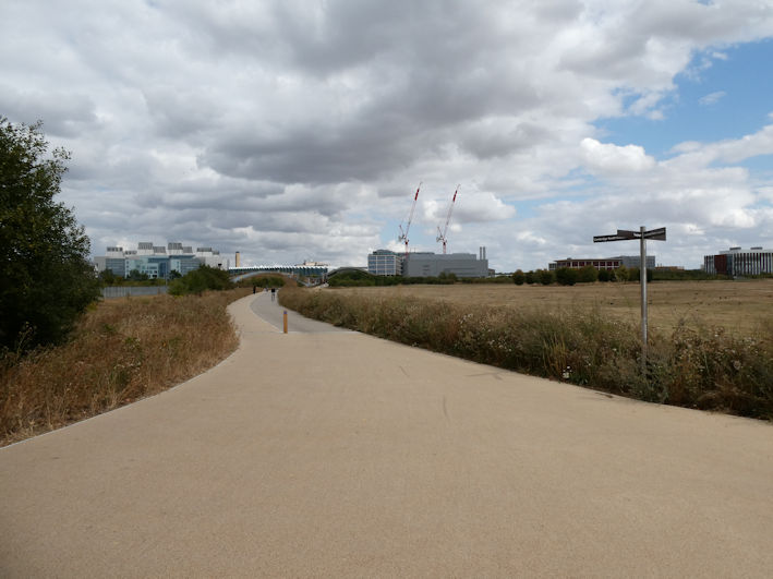
In recent years, Cambridge South Station has been built in the area where there was a level crossing on the track from Manor Farm towards Hills Road. A new access path has been constructed from the bridge over the brook at the Busway junction to the Station, roughly following this old alignment. This is one of a number of access paths to the Station.
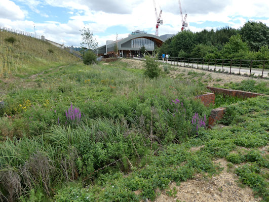
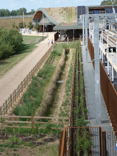
The Station has facilities both sides of the railway, including a green roof which drains into a soak away and eventually the brook.
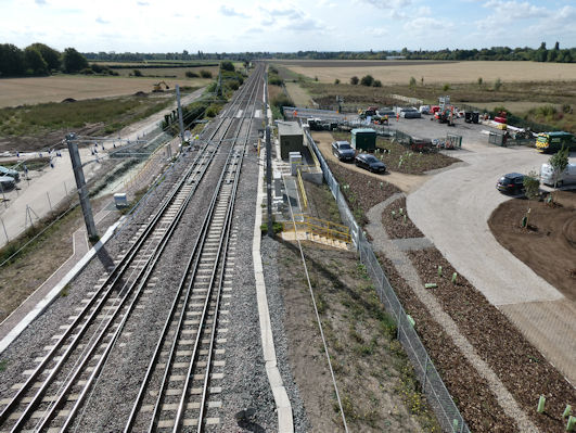
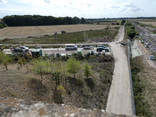
The construction of the Station had a major impact on Hobson’s Park, with land being used for a construction compound under Addenbrooke’s Road bridge, a large area flooding at various times, and the land needing extensive reinstatement. The area is gradually being returned to public access.
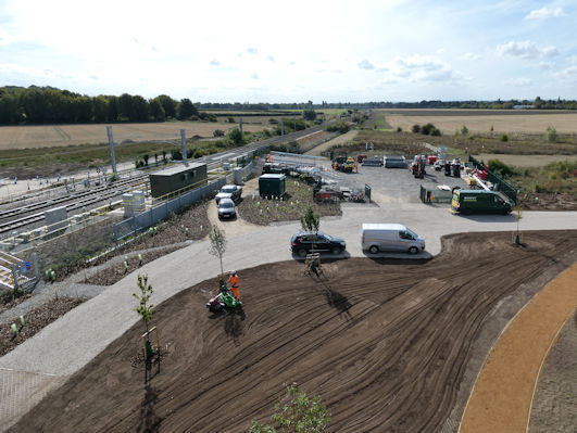
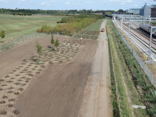
(P1023804) Reinstating part of Hobson’s Park that was used for the construction of Cambridge South Station, from the Addenbrooke’s Road bridge. Photo: Andrew Roberts, 10 September 2026.
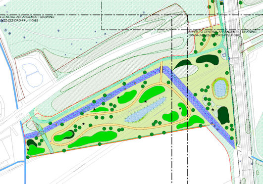
As part of the planning agreement for the Station, an area of farmland to the south of the brook has become an extension to Hobson’s Park. The plan shows the brook (coloured blue), Addenbrooke’s Road going from left to right and the main railway line going from north to south. The land includes a circular path, landscaping and a large pond. Murphys finished off the site in summer 2026 and the area opened to the public in September 2026, with a gate off Addenbrooke’s Road near the road bridge over the brook and two new footbridges over the brook. Residents of Raeburn House, Lapwing Avenue, have good views over the land.
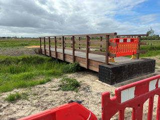
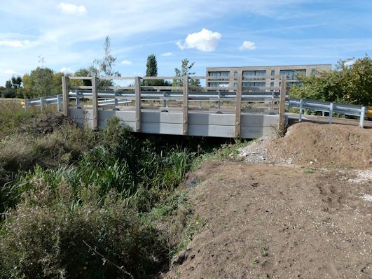
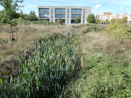
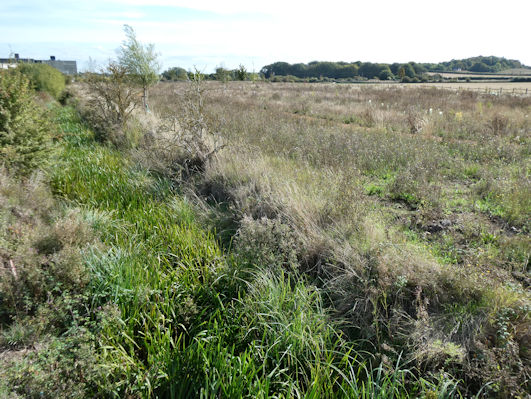
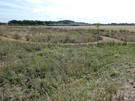
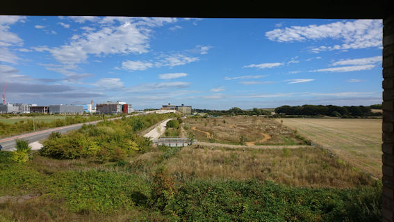
The next threat to the brook and surrounding area is from East West Rail. If this proceeds, there will be a construction compound near the brook and then additional tracks between Great Shelford and Cambridge South Station (to the west of the current tracks), requiring an extended crossing of the brook. There should also be additional exchange land, probably extending the latest area to the south of the brook. Some of this land is protected by being the site of a Roman villa.
New Transport Routes: South East Busway
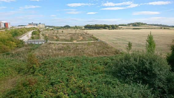
A more immediate issue than East West Rail is the project by the Greater Cambridge Partnership to construct a busway from the A11 into the Biomedical Campus and Cambridge South Station. If approved, this Cambridge South East Transport Scheme will approach the Campus on the east side of the railway, in the gap between the tracks and cycle path and Nine Wells, joining the Campus road network at the roundabout at the end of Addenbrooke’s Road. There have been delays with the project in 2025-26 but it is proceeding to a Public Inquiry in late 2026.
Cambridge Biomedical Campus
The Local Plans have supported the considerable growth of the Cambridge Biomedical Campus, including developments in the farmland between the original hospital and the railway, now occupied by the Laboratory of Molecular Biology, AstraZeneca, Royal Papworth Hospital, etc. The Campus Master Plan has included the internal network of roads such as Francis Crick Avenue and Dame Mary Archer Way.
In the next decades, the area around Nine Wells will be impacted by further expansion of the Campus. The land immediately to the south of Dame Mary Archer Way is already allocated to large scale buildings. This area has rapidly developed, with existing developments by Abcam and a new multi-story car park and GSK now moving to the site.
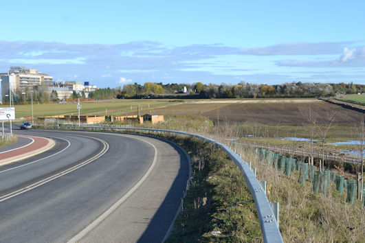
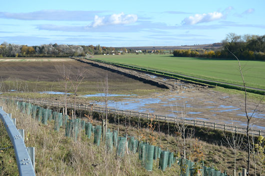
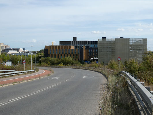
To the south of this, there is a drainage channel taking water to the brook, with the field between this and the hedgerow at the foot of White Hill already approved for development.
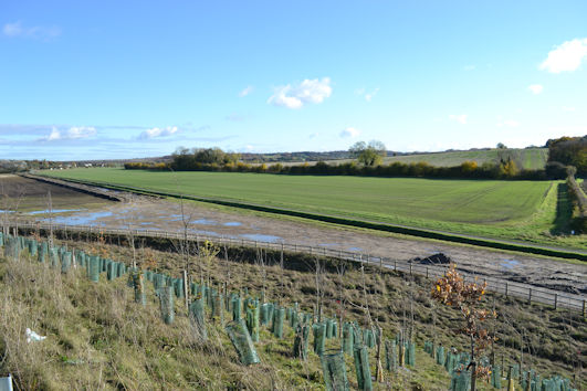
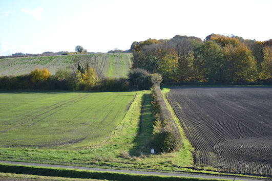
The next Local Plan is currently going through the final stages of consultation. If approved, the new Plan will allow further growth between the current CBC site and Babraham Road and a country park (a “Strategic Enhancement Area”) over White Hill, impacting on Nine Wells and the brook. How these plans will be reconciled with the regional water shortage and pressure on infrastructure, services and housing remains to be seen.
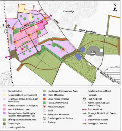
At present, the field between Addenbrooke’s Road and Nine Wells is still used as farmland, as are the fields to the south of Nine Wells over White Hill.
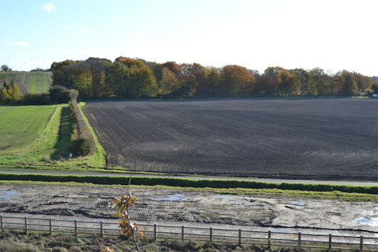
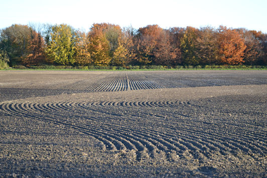
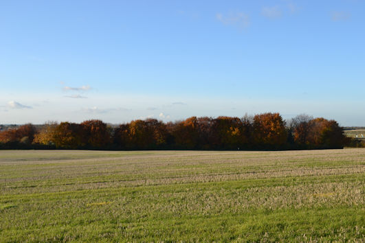
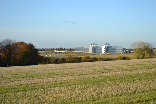
In the latest twist to this story, in autumn 2026 the Government announced changes to the National Planning Policy Framework to encourage development near railway stations. It is possible that the opening of Cambridge South Station will lead to a new threat to the field between Nine Wells and the railway line, which will one day be crossed by the South East busway.
There is then the ongoing threat of further expansion with the Cambridge Growth Company and Greater Cambridge Development Corporation, we need to be on our guard!
Finish
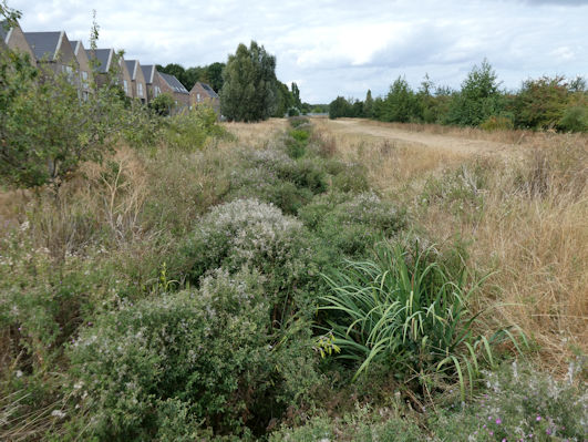
To close on a more positive note. Hobson’s Brook is one of the important group of chalk streams in our area. The Greater Cambridge Chalk Stream Project is aiming to restore and preserve the region’s chalk streams and we are still so fortunate to have Hobson’s Brook flowing through Trumpington.
Acknowledgements
I am one of the members of the Trumpington Residents’ Association (TRA) Committee and would like to acknowledge the work that has been done by the TRA to respond to planning and transport developments.