Hiltrud Hall, July 2008
This page is about Ely Place, Salisbury Place, Beverley Way and Exeter Close, four of the roads in Trumpington. It is based on a presentation given at the On The Street Where You Live meeting, 13 March 2008.
These street names refer to cathedrals in very different parts of the country, but we have not been able to find out why they were used for new roads in Trumpington. There are no records at the Guildhall (Cambridge City Council) about who selected the names.
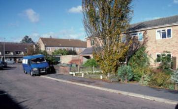
Ely Place and Salisbury Place
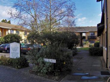
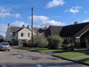
Ely Place is off Monkswell, near Paget Road, backing on to the site of the former Fawcett Infant School, now the Cambridgeshire Professional Development Centre. It is owned by a housing society, built on former allotment land. There was controversy over the loss of the amenity, but housing of this type was badly needed. The development consists of blocks of flats, attractively built around spacious public gardens with trees, shrubs and flowers. Residents have made great efforts to enhance the environment, with flower boxes and tubs on balconies.
Ely Cathedral, after which Ely Place is named, is not far from Cambridge. It is also known as the ‘ship of the Fens’ and can be seen from miles away on a clear day. You used to be able to see it from Castle Hill, Cambridge, but the surrounding trees are now too high. On a very clear day, the cathedral can be seen from the footpath alongside the golf course at Wandlebury Country Park.
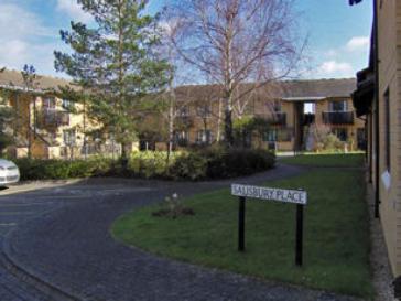
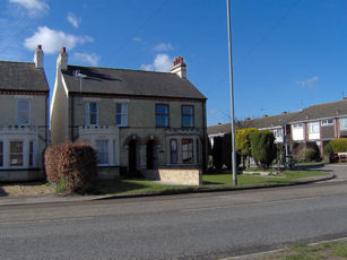
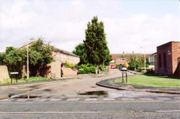
Salisbury Place is adjacent to Ely Place, built on the same principle and equally attractive. The flats overlook the grounds of the former school and fields which are to be developed as part of Clay Farm. Salisbury Cathedral is regarded as one of the most beautiful cathedrals in England, with a uniform design and the highest spire of all the cathedrals.
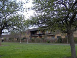
Beverley Way
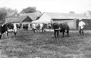
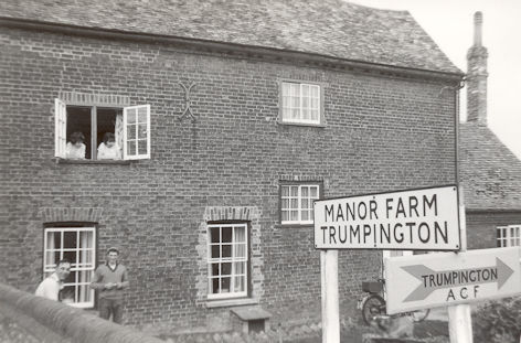
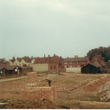
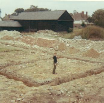
Beverley Way is off Trumpington High Street, on the site of the Manor Farm. The housing development was built by the construction firm Sindalls (owned by a member of the Ridgeon family) in the late 1960s. The Village Hall is on the corner of Beverley Way, celebrating its centenary in 2008. At that time, the doctors’ surgery was on land behind the Village Hall, on the site of the former Scout hut and Army Cadet hut.
There is no evidence to confirm whether Beverley Way was named after Beverley Minster or a local person. Assuming it was named in recognition of the Minster in the East Riding of Yorkshire, this church was named after Bishop John of Beverley, the founder of a monastery whose tomb became a shrine after miracles were reported. He was buried in the Minster, which was erected in gratitude for battles won by several kings including Henry V. The Minster has twin towers, an unusual feature among the English cathedrals. It is regarded as one of the loveliest churches, largely built in the 13th century, but blending older and later styles of architecture.
Exeter Close
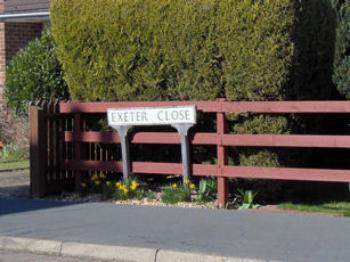
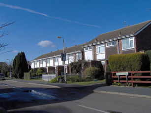
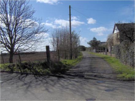
Exeter Close is off Shelford Road, on the route of a farm track to Glebe Farm, formerly known as Vicarage Farm. In 1962-63, a row of terrace houses was built on the right hand side and a shorter terrace set back from Shelford Road on the left hand side. In the mid 1980s, two bungalows were added on the left hand side, in the gardens of houses on Shelford Road. These were built for Betty Suckling, who lived in Salisbury Villa and whose grandfather had originally built two semi-detached houses, 90-96 Shelford Road. Miss Suckling moved into one of the new bungalows, where she spent the rest of her life. She was a city councillor for many years and had the interests of Trumpington very much at heart. She was Mayor of Cambridge during her period as councillor.
Again there is no evidence why the road was named Exeter Close. Exeter Cathedral is another beautiful and well known church, known for the richness of its styles.