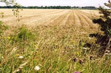
Trumpington has been an important agricultural area for thousands of years. In addition to this introduction to farms and farming, see:
the agricultural revolution and the enclosure of Trumpington (Andrew Roberts)
evidence from censuses (Howard Slatter)
the proud son of a Trumpington ploughman (Brian Goodliffe)
Glebe Farm, Trumpington, in the early 1950s (David Stubbings)
the Plant Breeding Institute (PBI) and Trumpington (Stephen Brown)
Aspects of farming were discussed at a group meeting in October 2009.
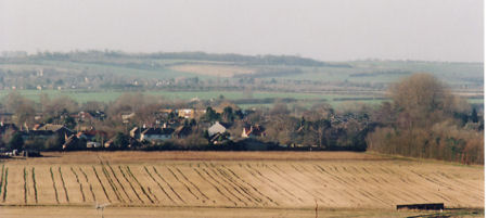
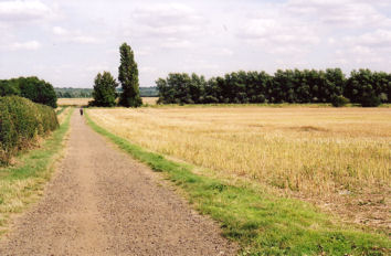
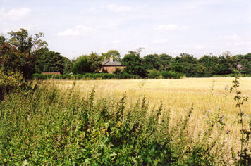
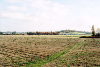
Trumpington Farms
There was a network of farms in Trumpington by the 19th century, on land owned by the Pemberton family (Trumpington Hall) or the Foster family (Anstey Hall). These farms still have a considerable impact on Trumpington in the 21st century, although a number have been developed for housing, green spaces and community uses, adding 4000 new dwellings to the Southern Fringe of Cambridge.
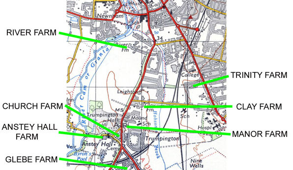
River Farm (Blackland Farm)
in the north west of the parish, between the river and the road into Cambridge;
River Farm House built in the 19th century, after enclosure, at the end of Latham Road;
partly developed for housing in the late 19th and 20th centuries.
Trinity Farm (Great Tithe Farm)
in the north east of the parish, to the east of the road into Cambridge, north of the track to Cherry Hinton (now Long Road);
the main Trinity Farm House was to the west of Hills Road (now the site of Luard Close);
there was also a farm house to the north of Long Road (the site of the telephone exchange);
developed for housing in the late 19th and 20th centuries.
Church Farm (also known as Home Farm or Maris Farm)
in the centre of the village, to the west of the main road;
the farmhouse was Maris House, Maris Lane.
Manor Farm
in the centre of the village, to the east of the main road;
Manor Farm House was near the Village Hall (now Beverley Way);
developed for housing, the King George V playing field and Fawcett School in the mid 20th century.
Anstey Hall Farm
in the south west of the parish, between the river and the road to Hauxton Mill;
Anstey Hall Farm House on Grantchester Road, to the west of the Church;
parts of the farm used as a plant breeding centre from the 1950s;
cut by the London & North Eastern railway line in the 19th century;
partly used as a coprolite site in World War I and as a Prisoner of War camp in World War II;
bisected by the M11 in the 1970s;
partly developed as a supermarket and Park & Ride site in 2000;
parts of the remainder being developed for housing, Trumpington Meadows Primary School and Trumpington Meadows Country Park from 2010, other parts continue in use as farmland.
Clay Farm
in the south east of the parish, either side of Hobson’s Brook;
Clay Farm house built in the 19th century, after enclosure, to the south of Long Road;
limited by the Great Northern railway line and cut by the London & North Eastern railway line in the 19th century;
further limited by the Addenbrooke’s Access Road in 2010;
developed for housing and schools from 2010.
Glebe Farm
in the south of the parish, between the roads to Hauxton and Great Shelford;
Glebe Farm House to the west of Shelford Road (Exeter Close);
cut by the Addenbrooke’s Access Road in 2010;
the farmland to the north of the road developed for housing from 2010.