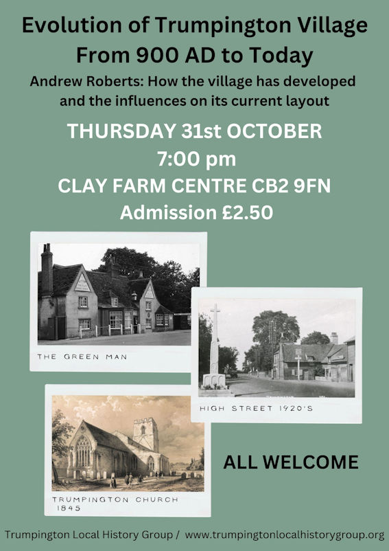
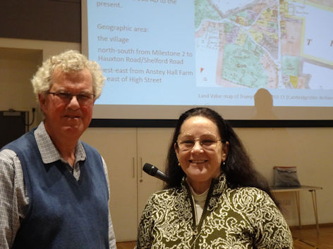
At the meeting on 31 October 2024, Andrew Roberts outlined the history of the evolution of Trumpington village, from its initial origins in the 900s up to the present day. The meeting was chaired by Janelle Robbins.
Andrew Roberts has been researching Trumpington’s history for the last 20 years. With a first degree in archaeology and geology, Andrew had a career in museums, including developing the cataloguing standards used in this country and overseas and working at the Museum of London. He is on the Local History Group Committee and is responsible for the web site, History Trails and other projects. He has undertaken a number of courses on local history and landscape history at the University’s Extra-Mural Department at Madingley Hall.
For an extended version of the talk, including additional notes and references, go to the Evolution of Trumpington Village page.
Questions/discussion at the meeting
Q. There are two thatched cottages set back from the road frontage opposite the Tollhouse on the High Street, what is the date of these?
A. They were built for Professor Browne in the 1920s, see a photograph in Trumpington Past and Present, p. 61.
Q. Was there a village pond?
A. At the time of the talk, we were not aware of pond in the village (although Andrew has since found a reference to one off Church Lane). There were wells and springs in a number of locations including Grantchester Road (Marian Hobson) and at the base of the water tower in the grounds of Anstey Hall (John de Bruyne).
Q. Marian Hobson noted that the landlord of the Lord Byron said that he had been into the attic and there was thatch under the slates.
A. This correlates with evidence that the building pre-dates its use as a pub.
Q. John de Bruyne referred to the Anstey Hall Barns excavation.
A. The western boundary of the hall grounds may match the early north-south route, with the route also matching the western boundary of the churchyard.
Q. John also noted the impact of World War 1 on the village, including the death of the sons of Foster and Pemberton.
A: We made a major contribution to the Lives of the First World War database, with information about local individuals.
Q. Was a distinguished person living at Anstey Hall in the 1800s, with connections to colours on maps?
A. At the time of the meeting, we were not sure who this might have been, but it could be Robert Leslie Ellis (1817–1859), a mathematician and classical scholar, who lived at Anstey Hall from 1853 to 1859.
Q. Where is Nine Wells and the significance of ‘9’? A: We recommend walking there! Nine Wells is the source of the water in Hobson’s Brook and Conduit, a local nature reserve south of Addenbrooke’s Road, visible from the railway bridge. There are a number of springs at the site and Ernest Gray (Hobson’s Conduit, the Story of a Cambridgeshire Chalk Stream, p. 7) refers to ‘nine denoting an indefinite number’ as in some springs of ancient Greece’.